
| Viking | Mariner 6 & 7 | THEMIS | CRISM |
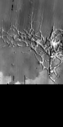
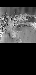
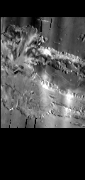
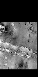
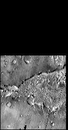
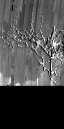
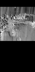
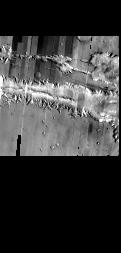
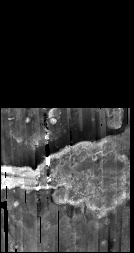
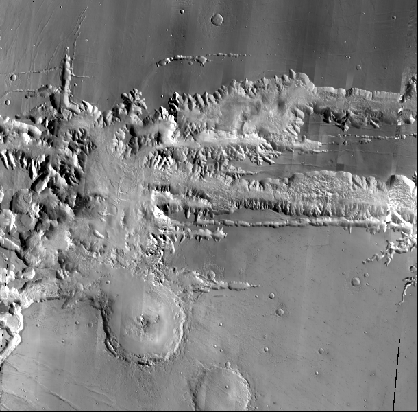
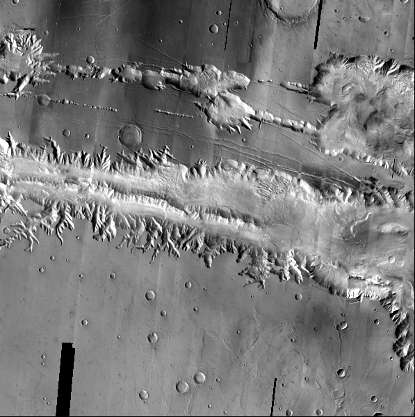
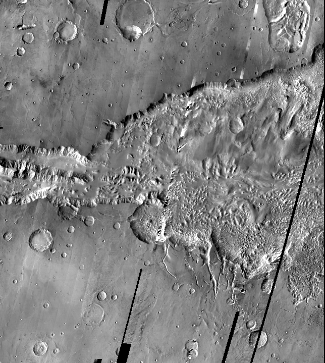
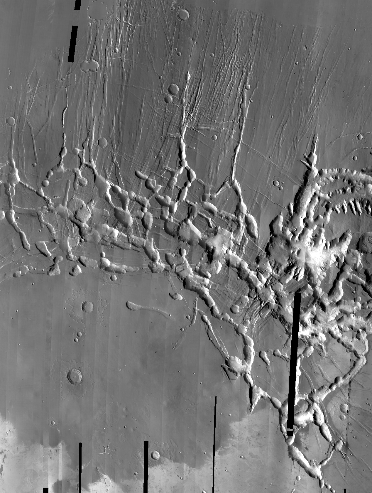
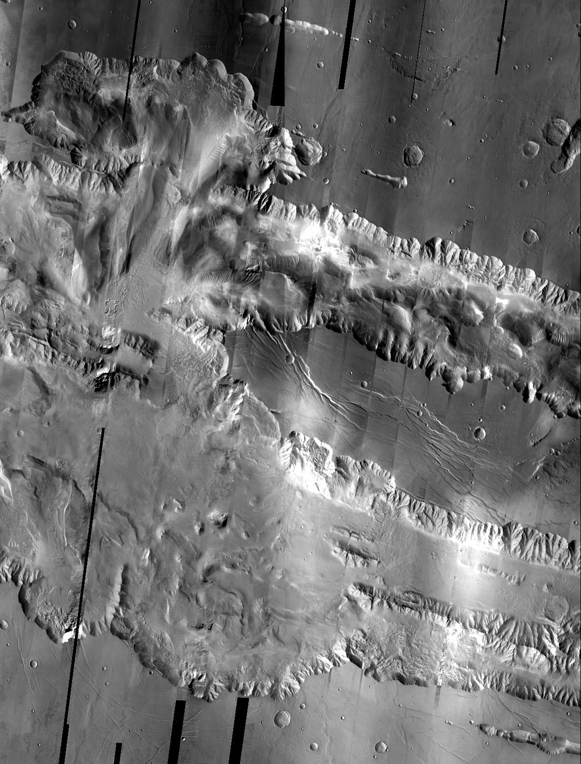
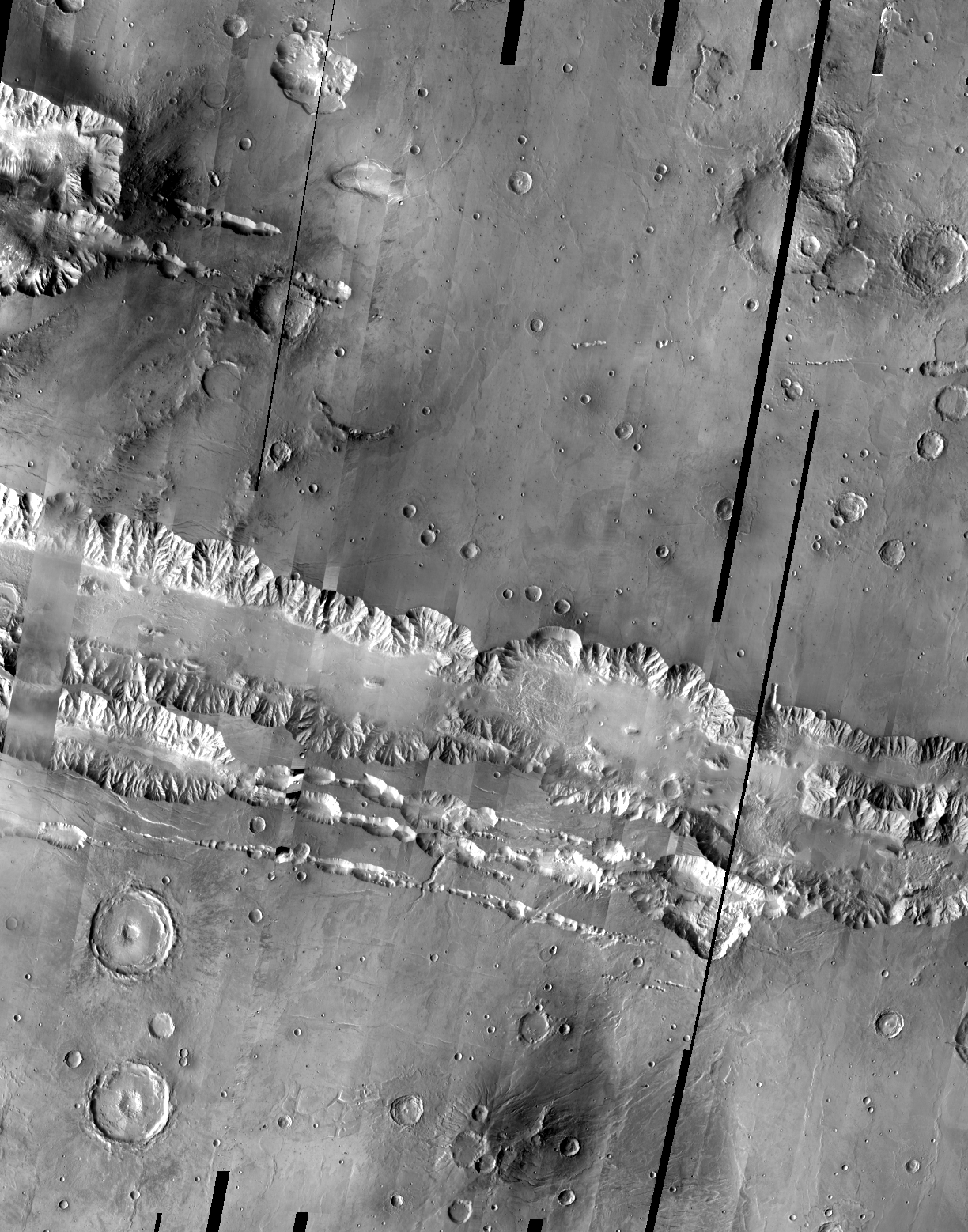
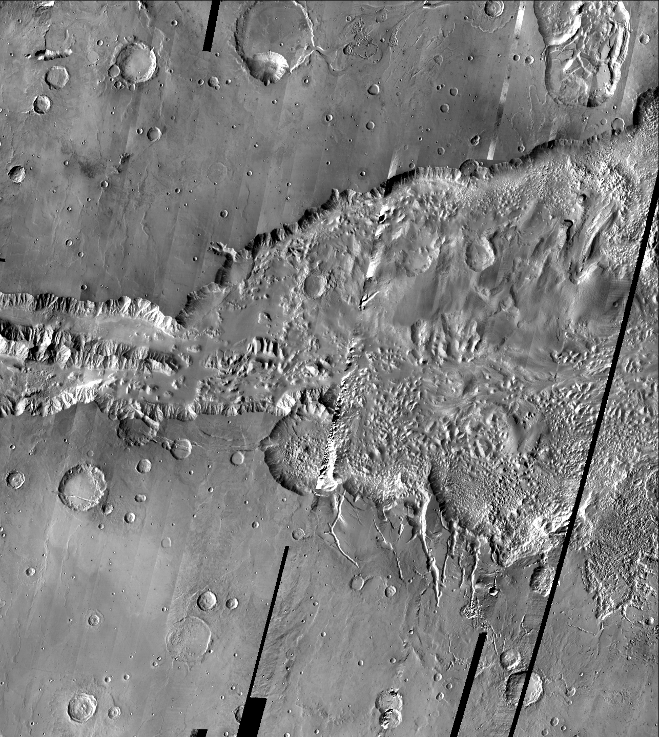
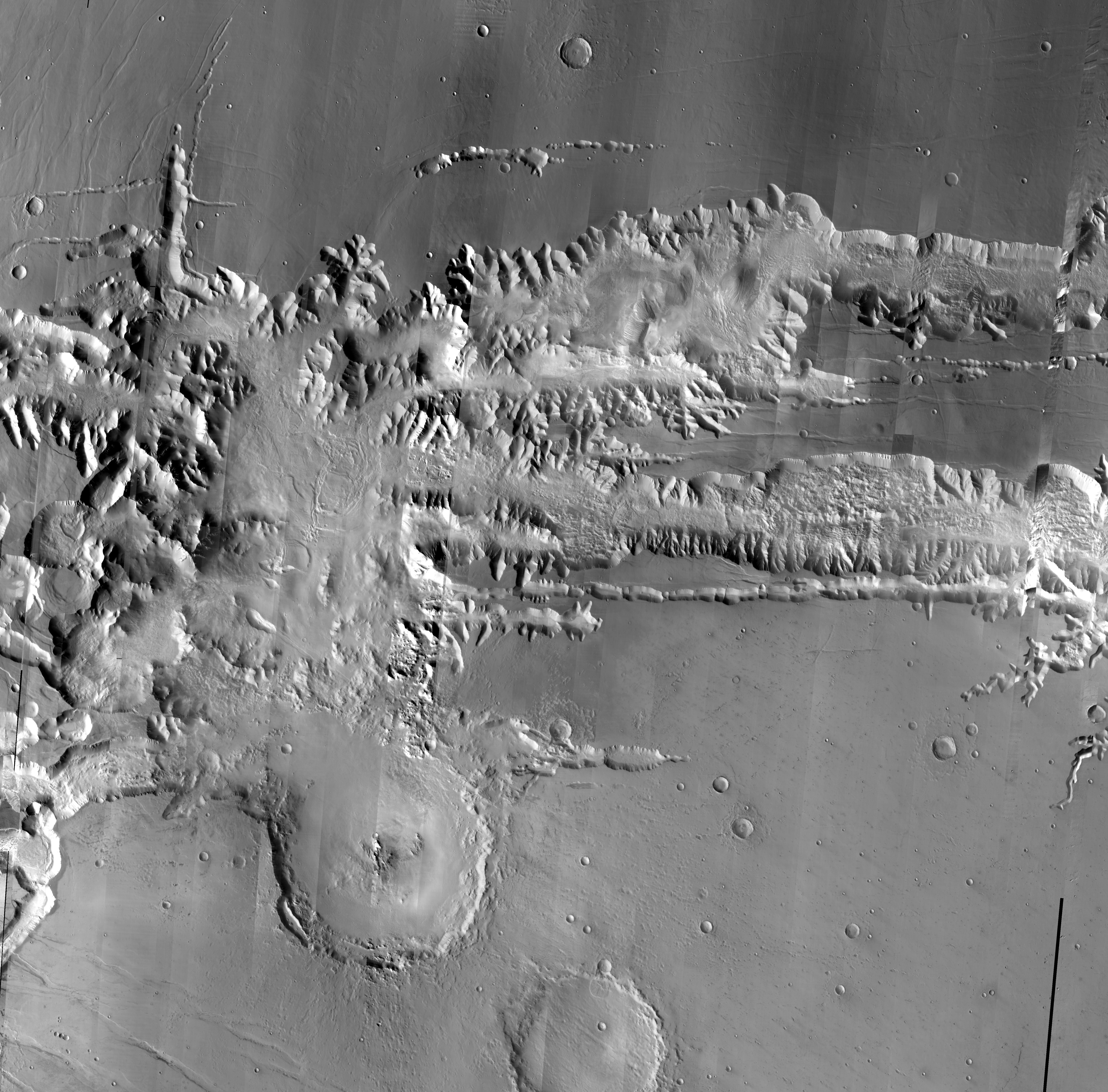
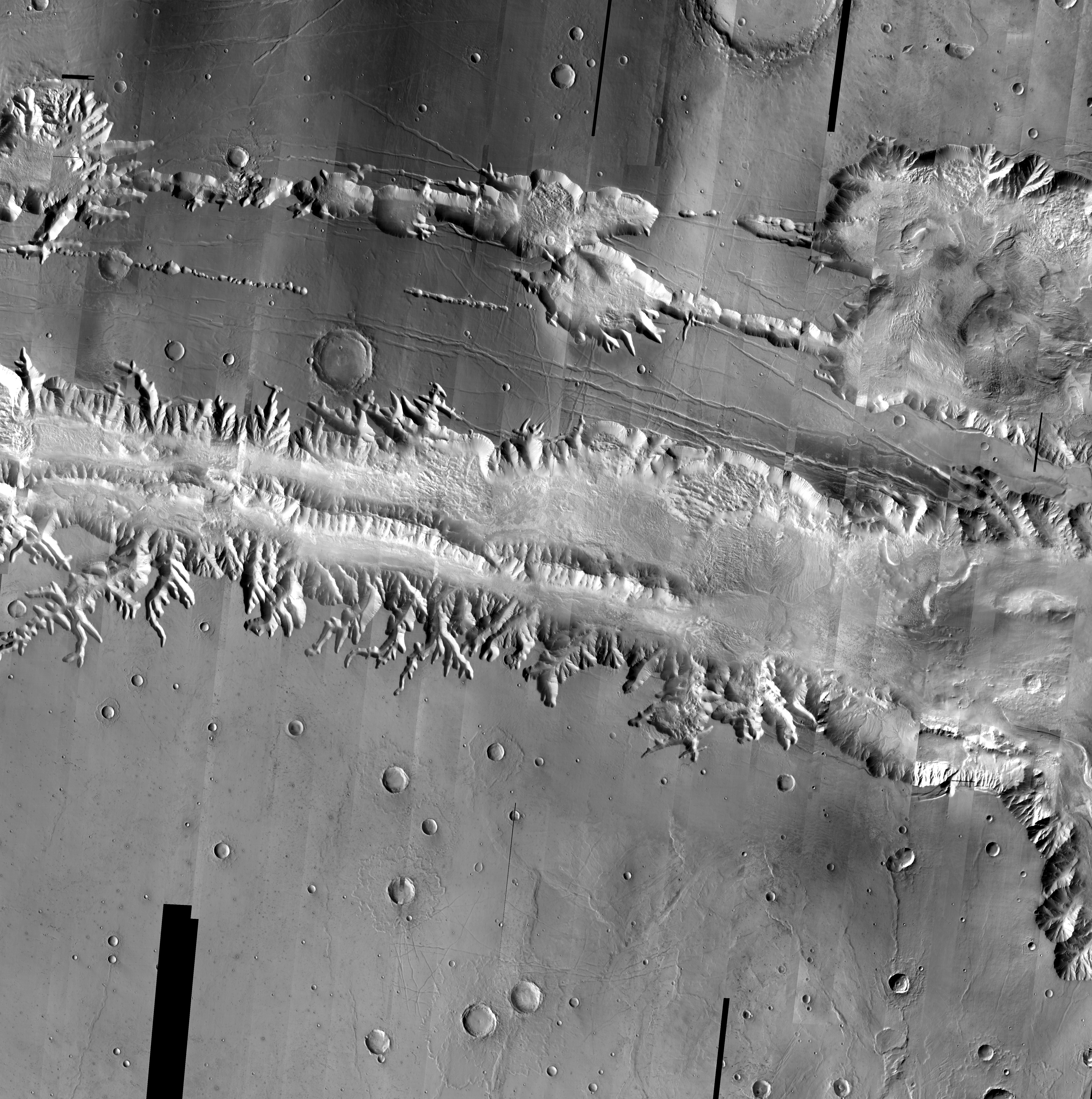
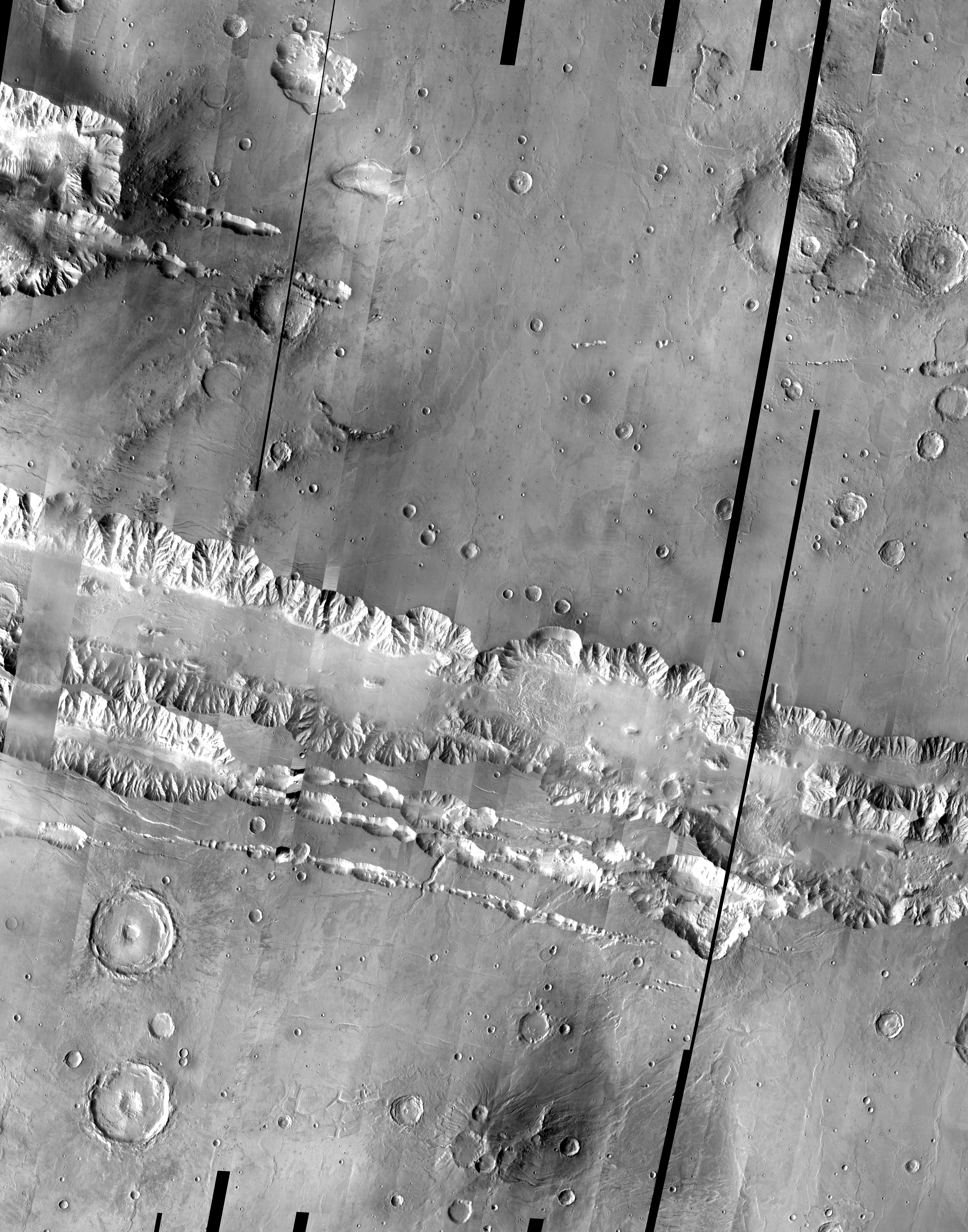
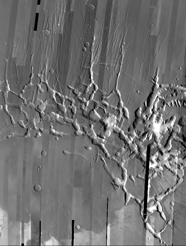
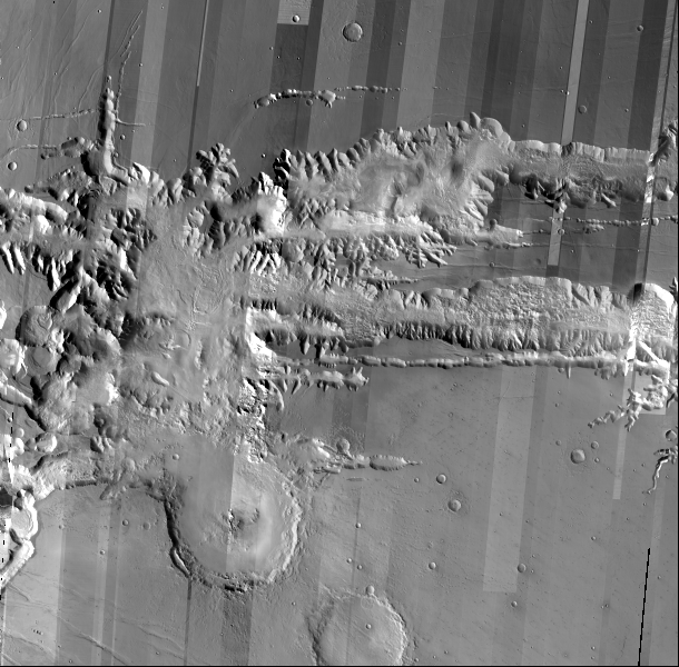
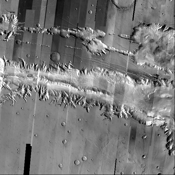
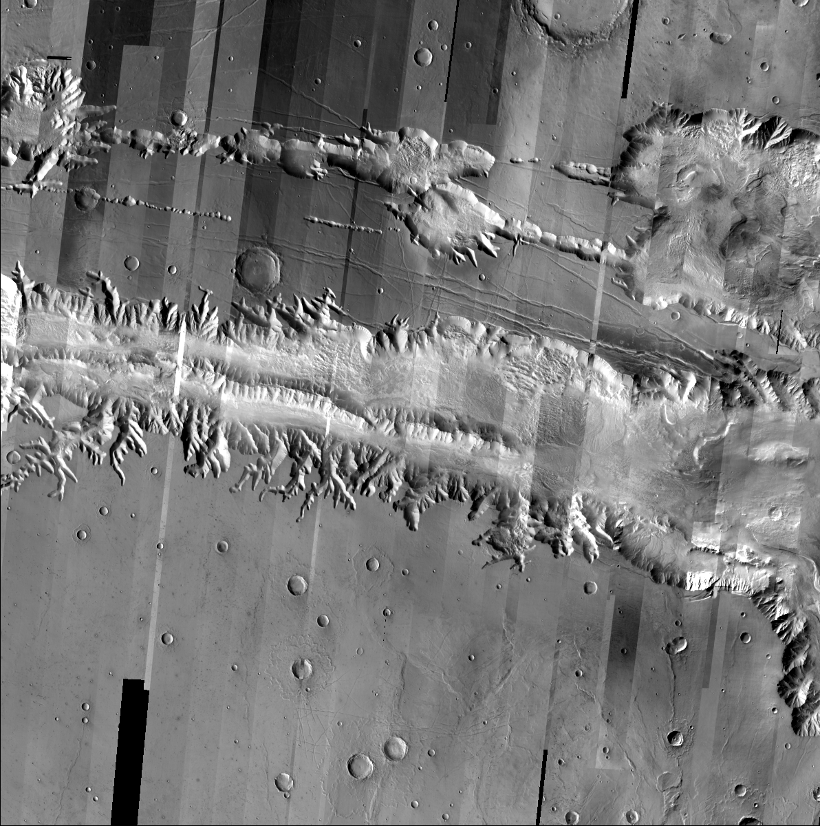
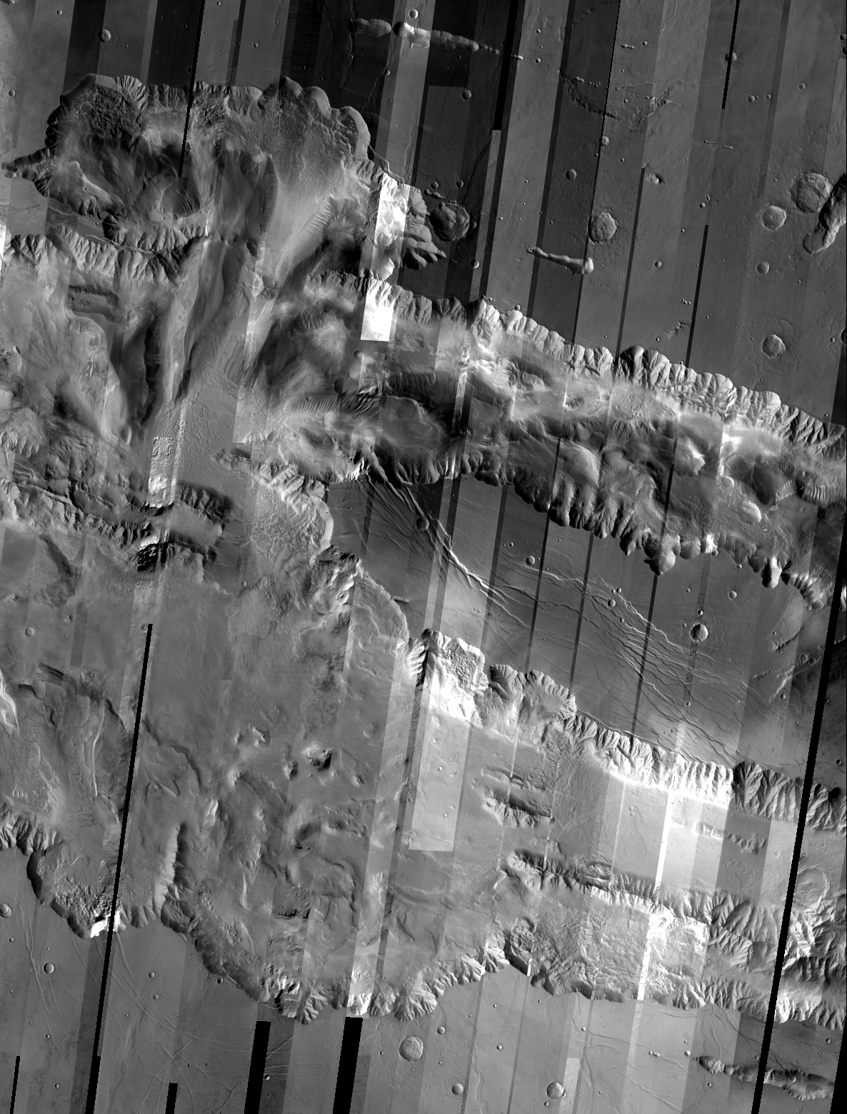
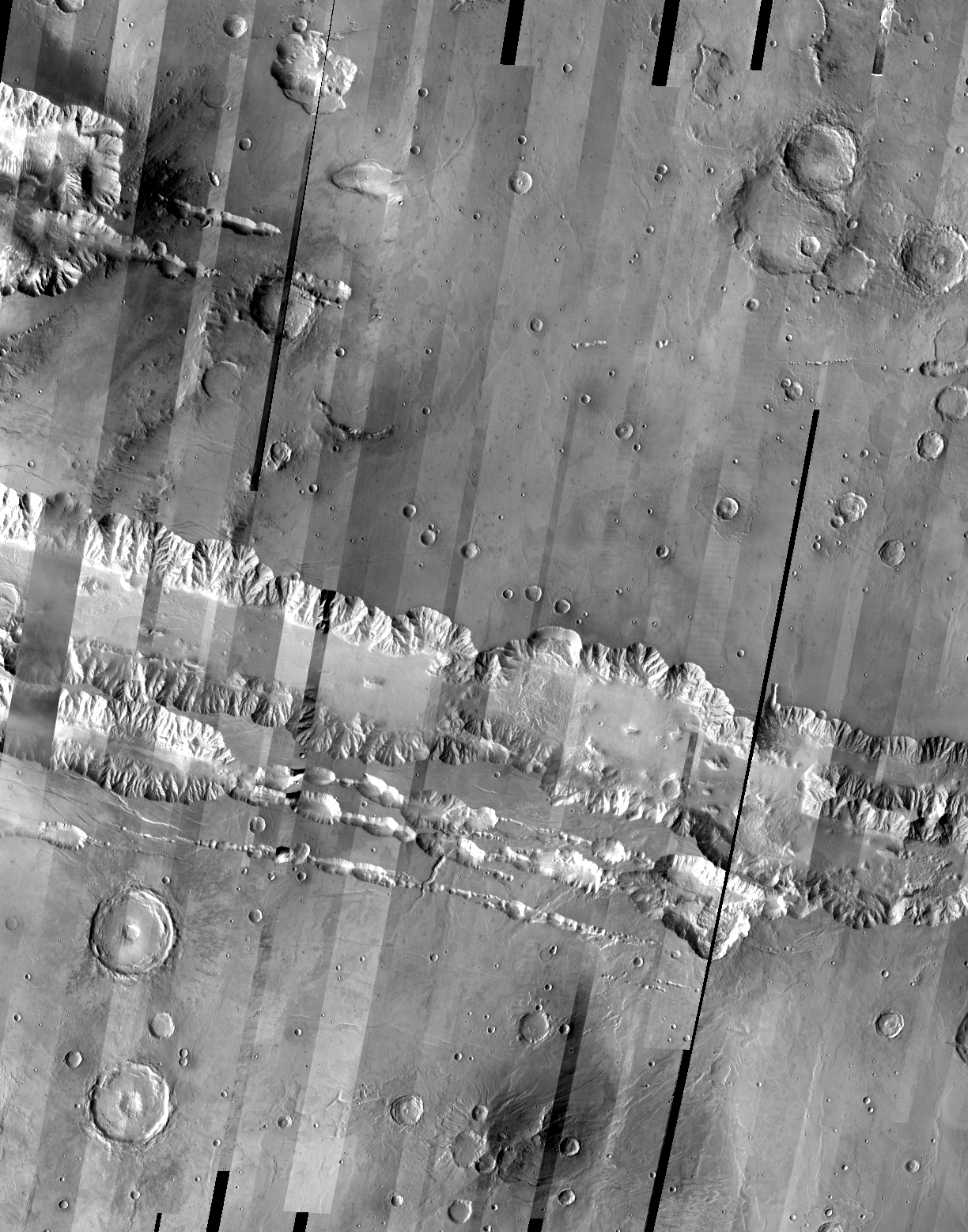
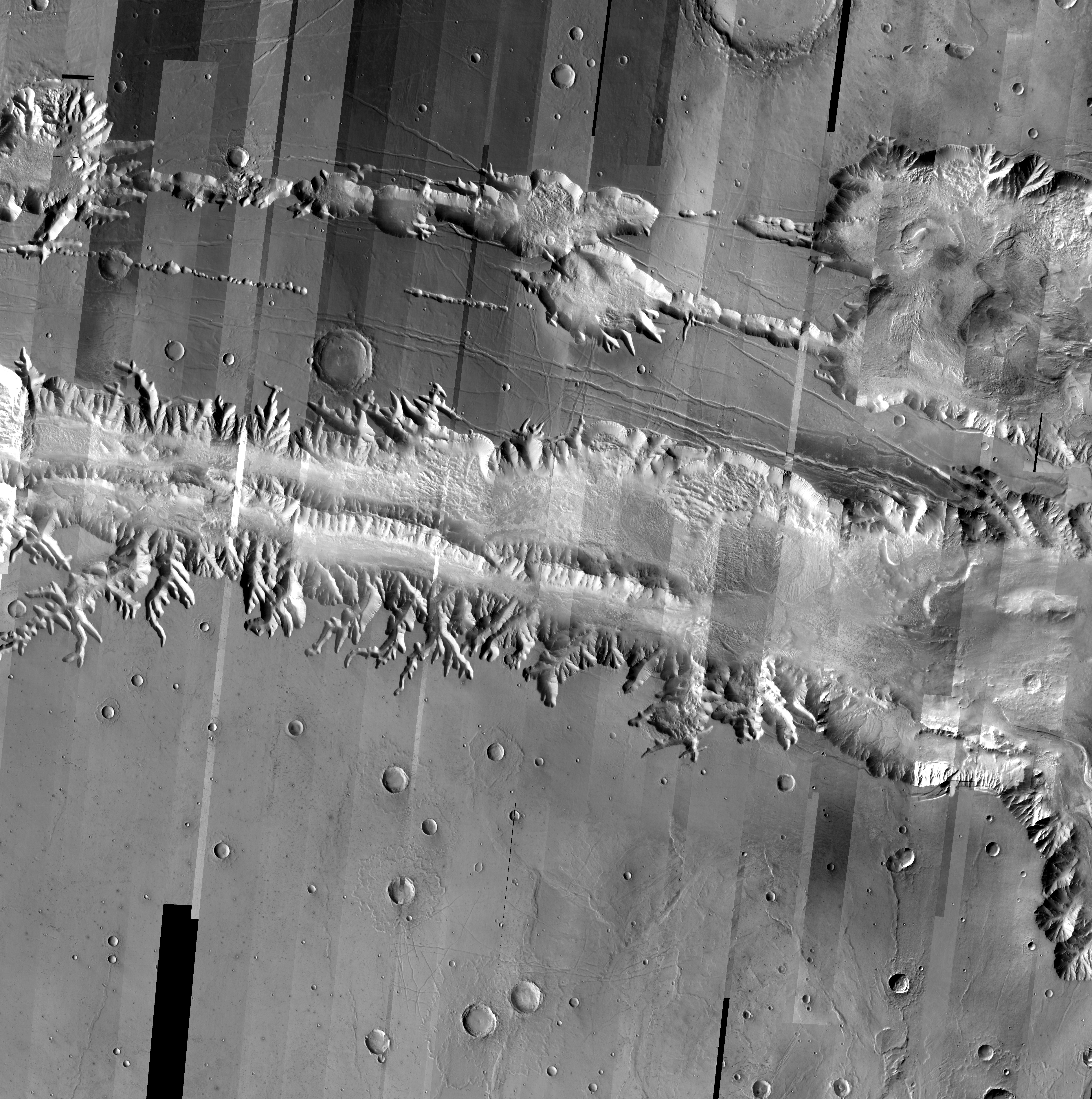
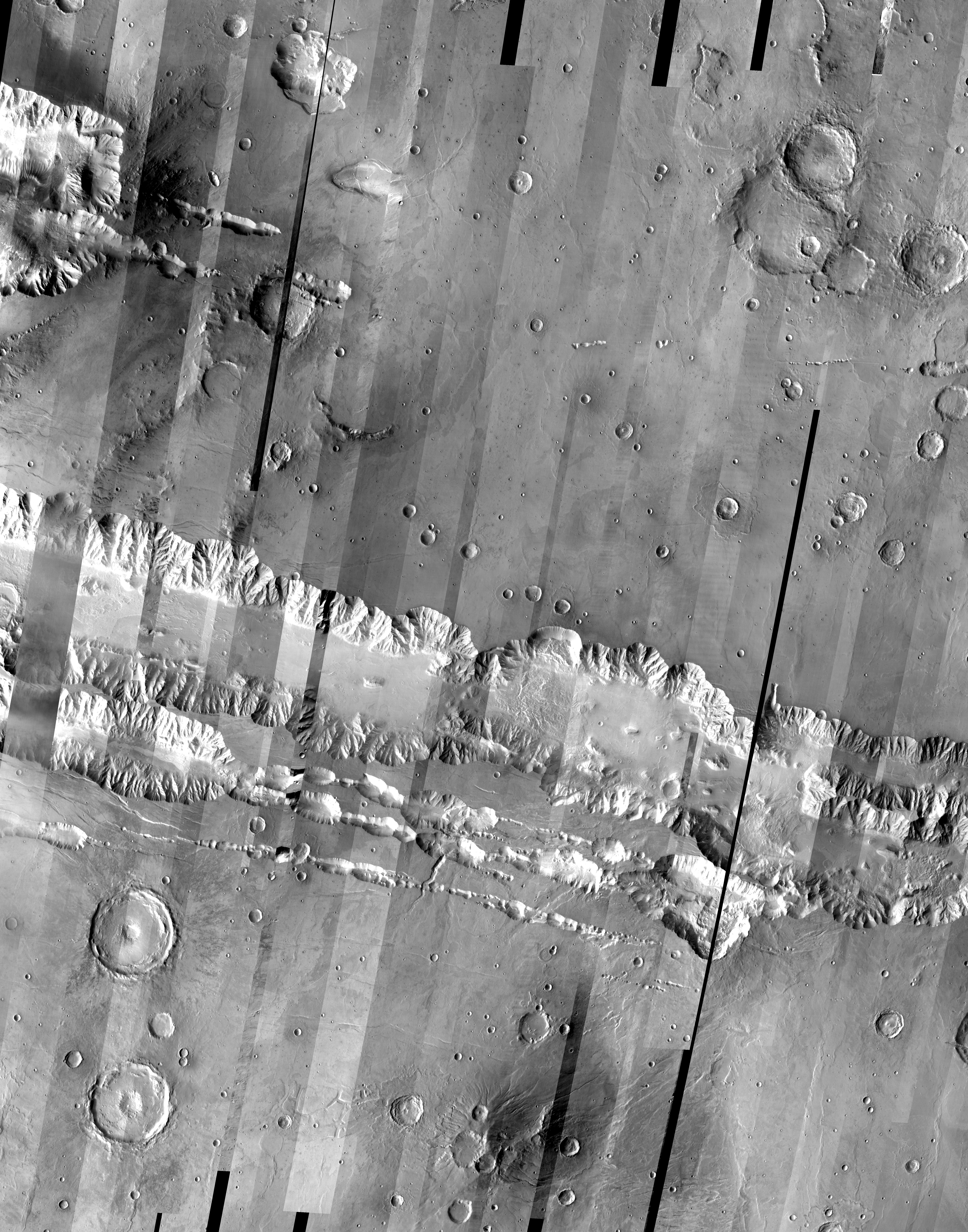
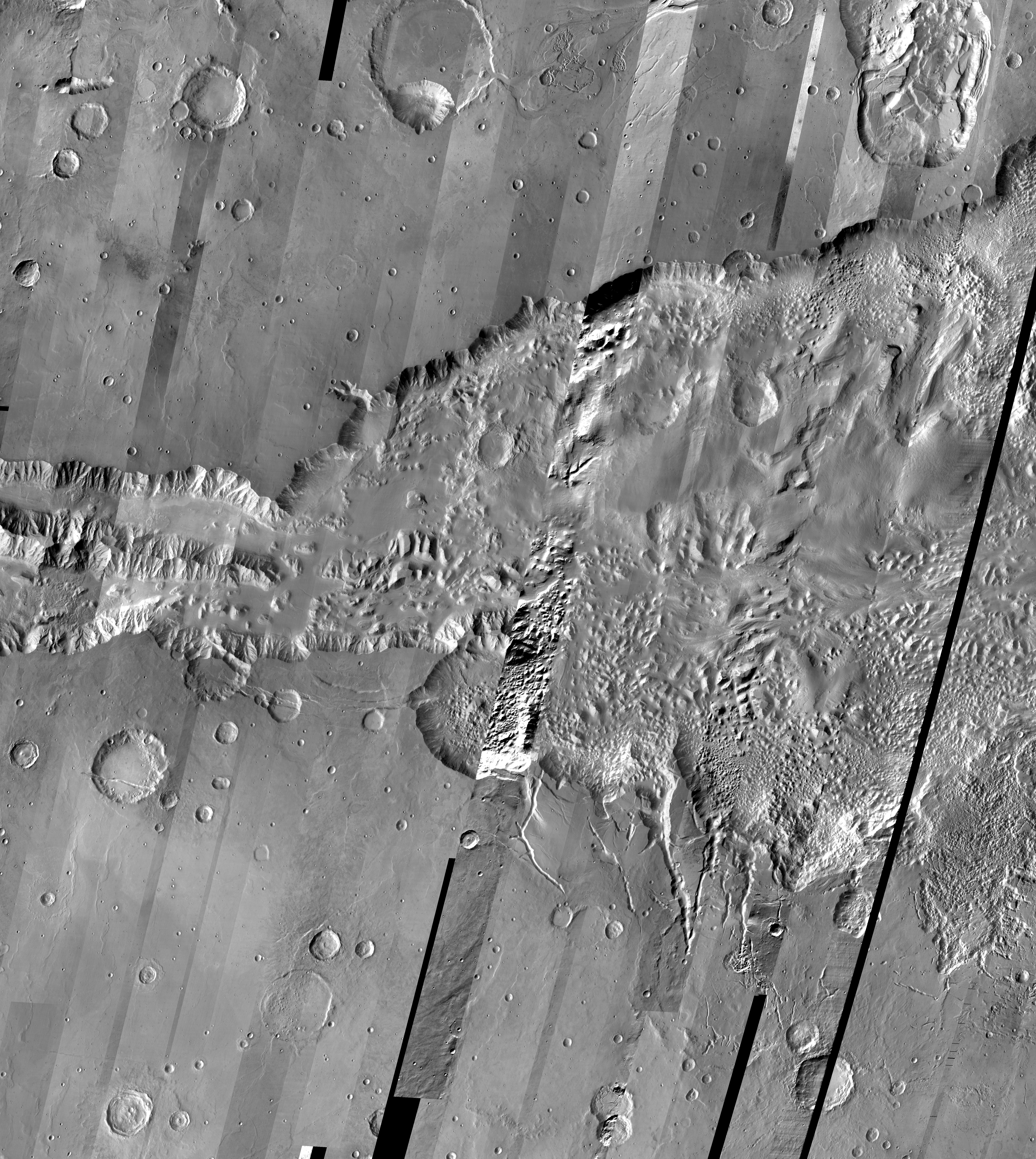
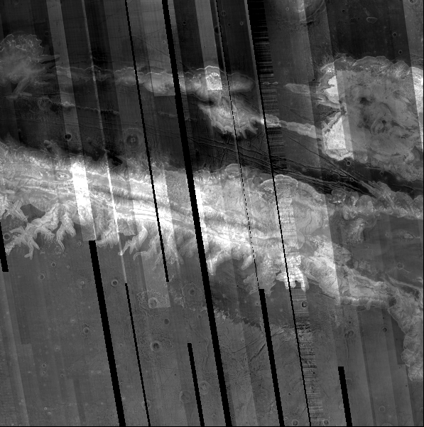
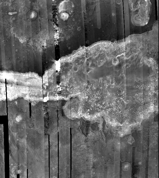
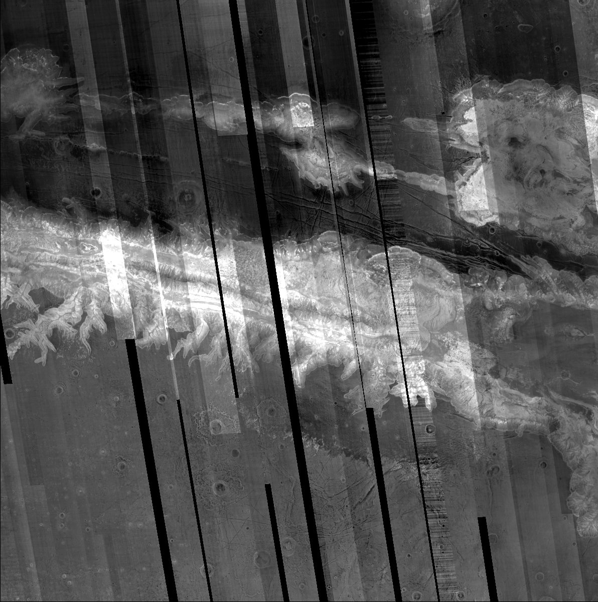
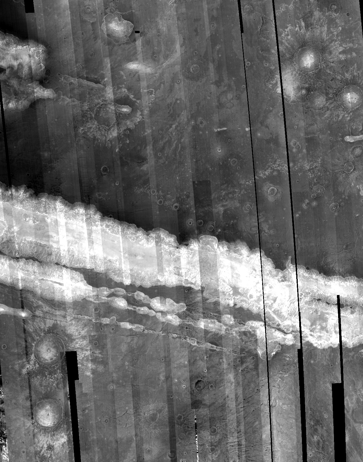
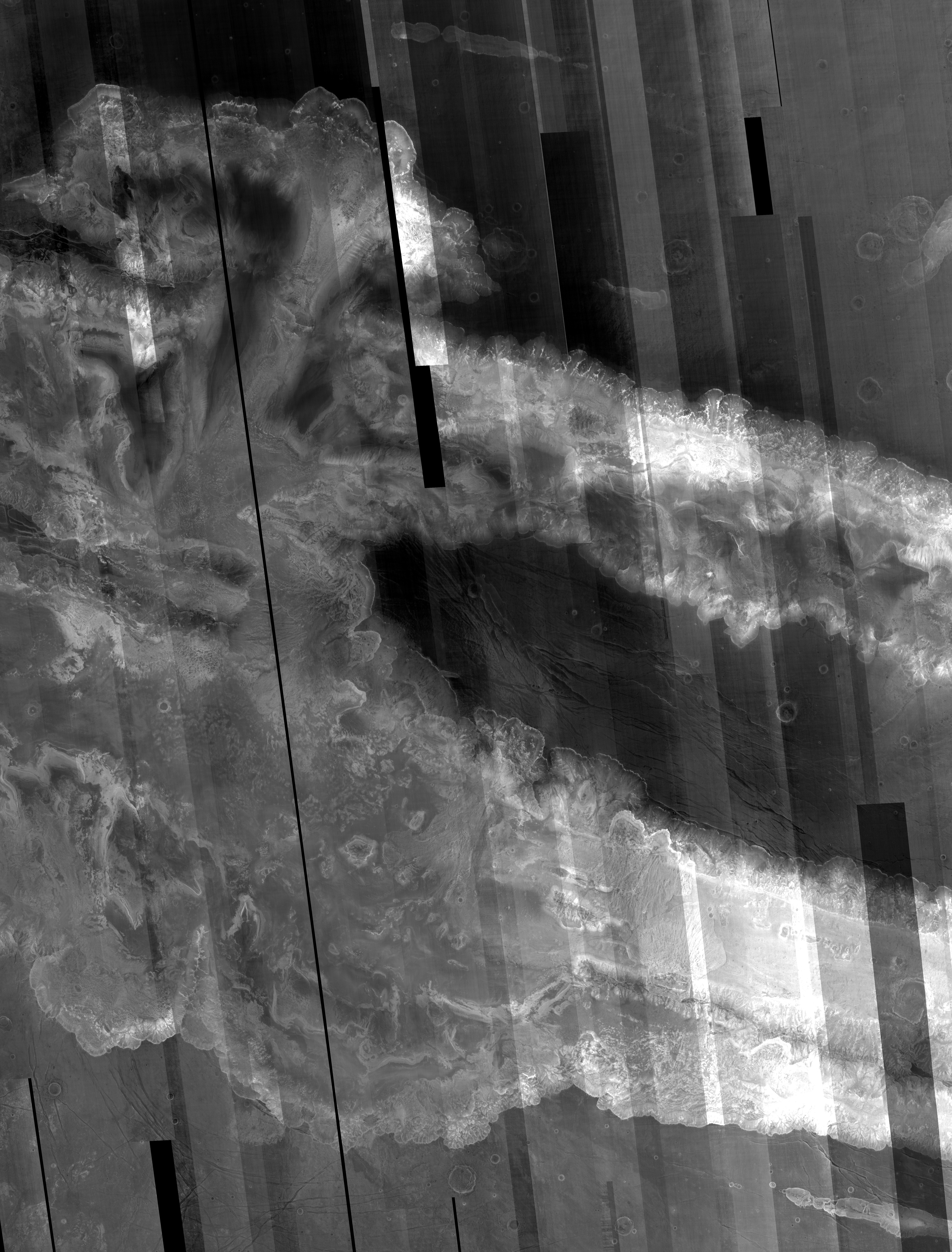
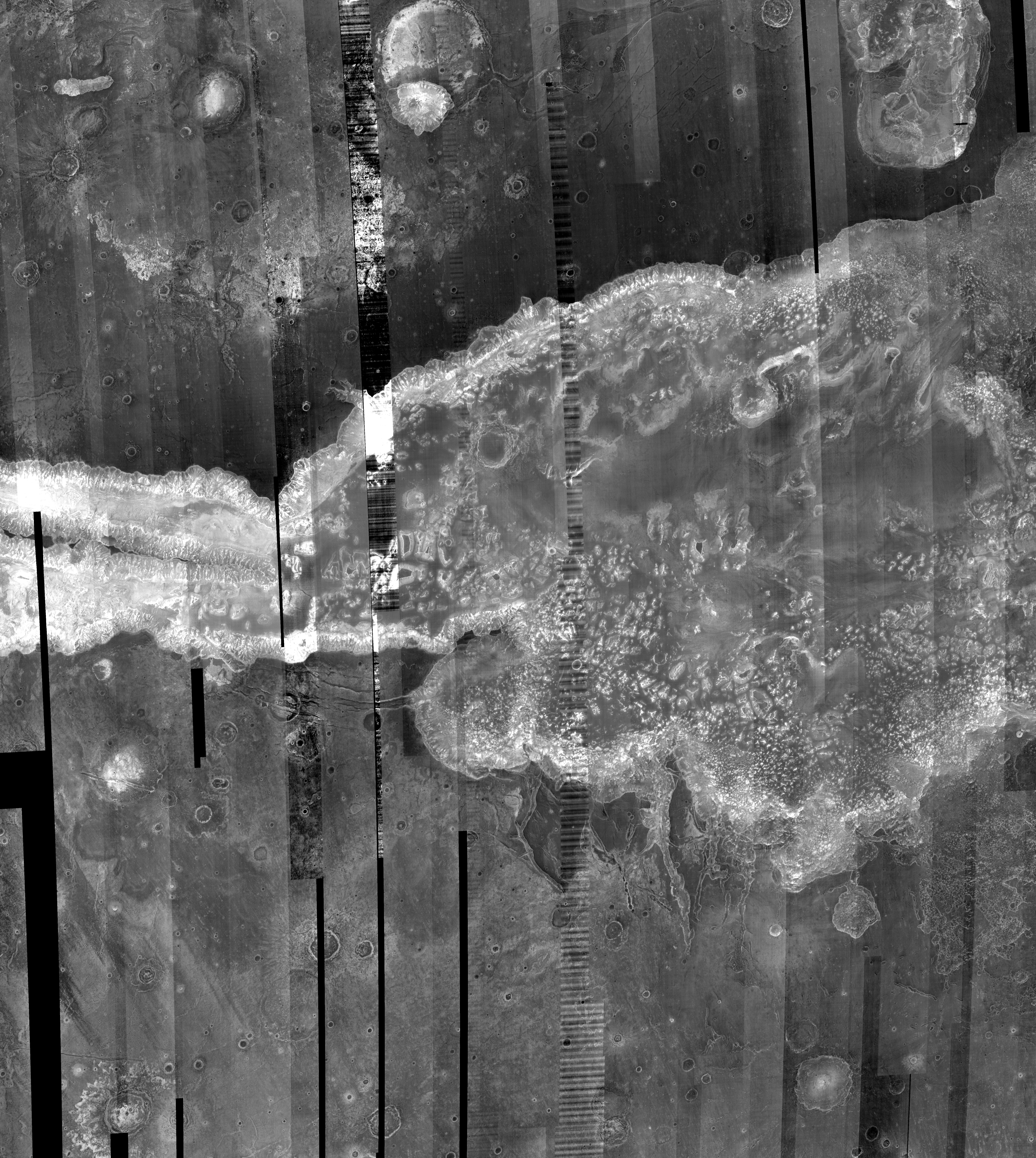
Valles Marineris from THEMIS infrared images
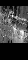
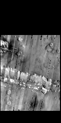
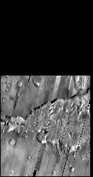
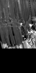
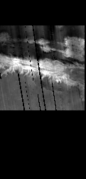
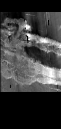
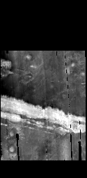
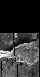
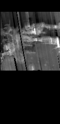
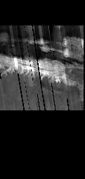
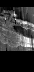
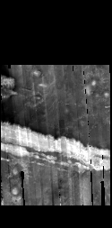
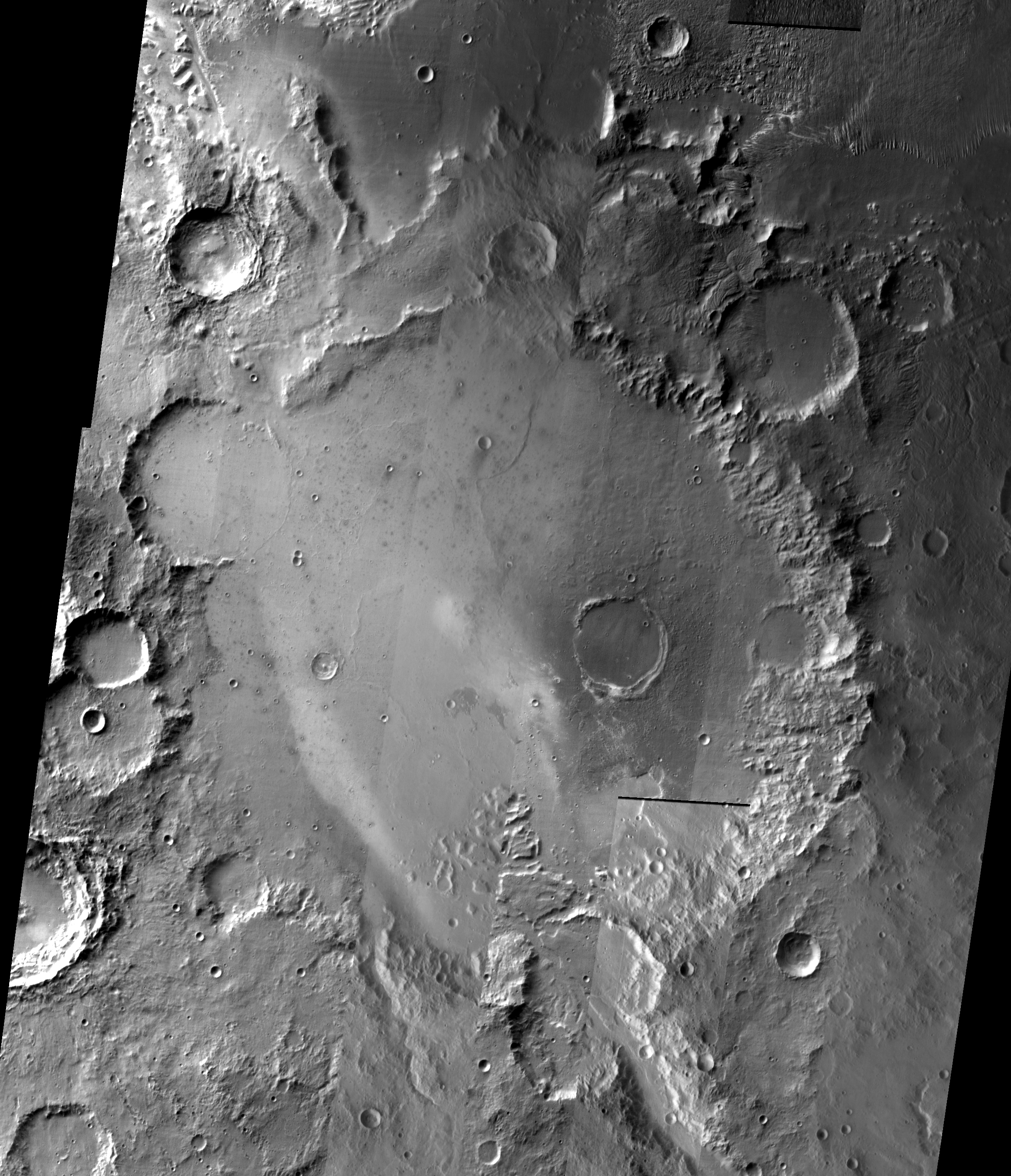
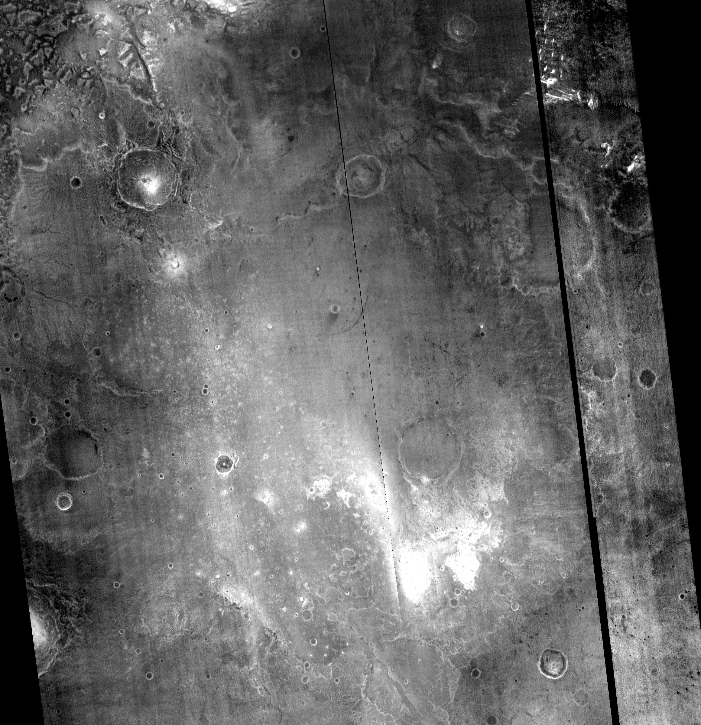
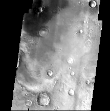
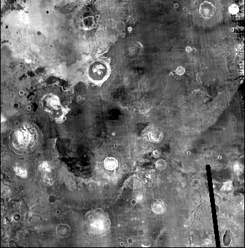
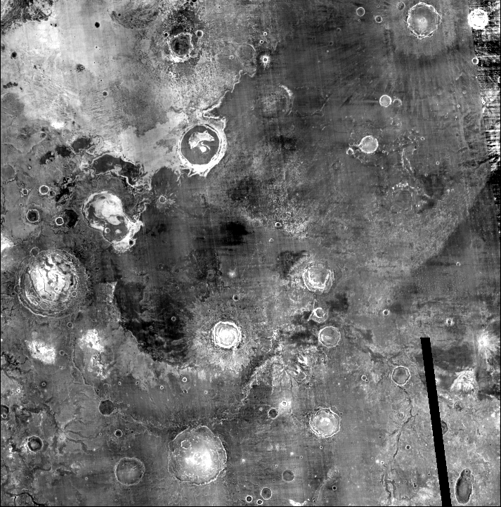
The following mosaics are composed of thermal data from the Mars 2001 Odyssey mission taken at a 12.57 micron wavelength. The RDR data were ingested into ISIS and sinusoidally projected to a center longitude of 287.5 degrees East. Each section of the Valles Marineris mosaic is available in three resolutions: 100 m/pixel, 500 m/pixel, and 1 km/pixel.
The daytime and nighttime mosaics are available in two versions. Brightness differences between frames were first minimized by normalizing every scene such that its average was one. Since the images were acquired at varying times of daya and SNR also varied considerably large brightness differences remained in some areas of the mosaics.
Mosaics indicated "Seam Removal" were further processed to minimize residual brightness differences from image to image using high pass and low pass filters. We caution that seam removal does introduce subtle artifacts across boundaries in some cases. Mosiacs labeled "No Seam Removal" were normalized only - no other processing was applied.
The ISIS mosaics were converted to 8-bit PNG format using a half-percent histogram clipping. Each mosaic is also available in ISIS format at full resolution.
Daytime Thermal
Seam Removal
| 255-265 E | 265-275 E | 275-285 E | 285-295 E | 295-305 E | 305-315 E |
 |
 |
 |
 |
 |
 |
| 1 km/pix | 1 km/pix | 1 km/pix | 1 km/pix | 1 km/pix | 1 km/pix |
| 500 m/pix | 500 m/pix | 500 m/pix | 500 m/pix | 500 m/pix | 500 m/pix |
| 100 m/pix | 100 m/pix | 100 m/pix | 100 m/pix | 100 m/pix | 100 m/pix |
| ISIS | ISIS | ISIS | ISIS | ISIS | ISIS |
| GeoTIFF, Simple Cylindrical projection at 100m/pixel | |||||
No Seam Removal
Nighttime Thermal
Seam Removal
| 255-265 E | 265-275 E | 275-285 E | 285-295 E | 295-305 E | 305-315 E |
 |
 |
 |
 |
 |
 |
| 1 km/pix | 1 km/pix | 1 km/pix | 1 km/pix | 1 km/pix | 1 km/pix |
| 500 m/pix | 500 m/pix | 500 m/pix | 500 m/pix | 500 m/pix | 500 m/pix |
| 100 m/pix | 100 m/pix | 100 m/pix | 100 m/pix | 100 m/pix | 100 m/pix |
| ISIS | ISIS | ISIS | ISIS | ISIS | ISIS |
| GeoTIFF, Simple Cylindrical projection at 100m/pixel | |||||
No Seam Removal

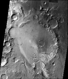
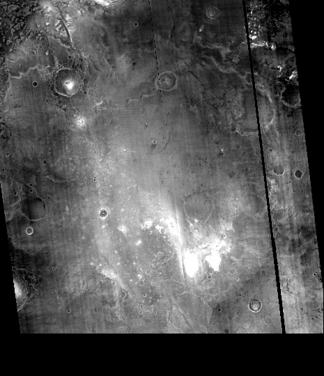
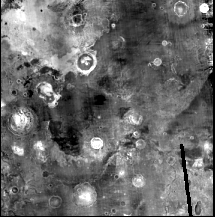
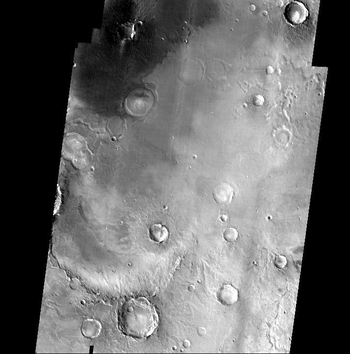
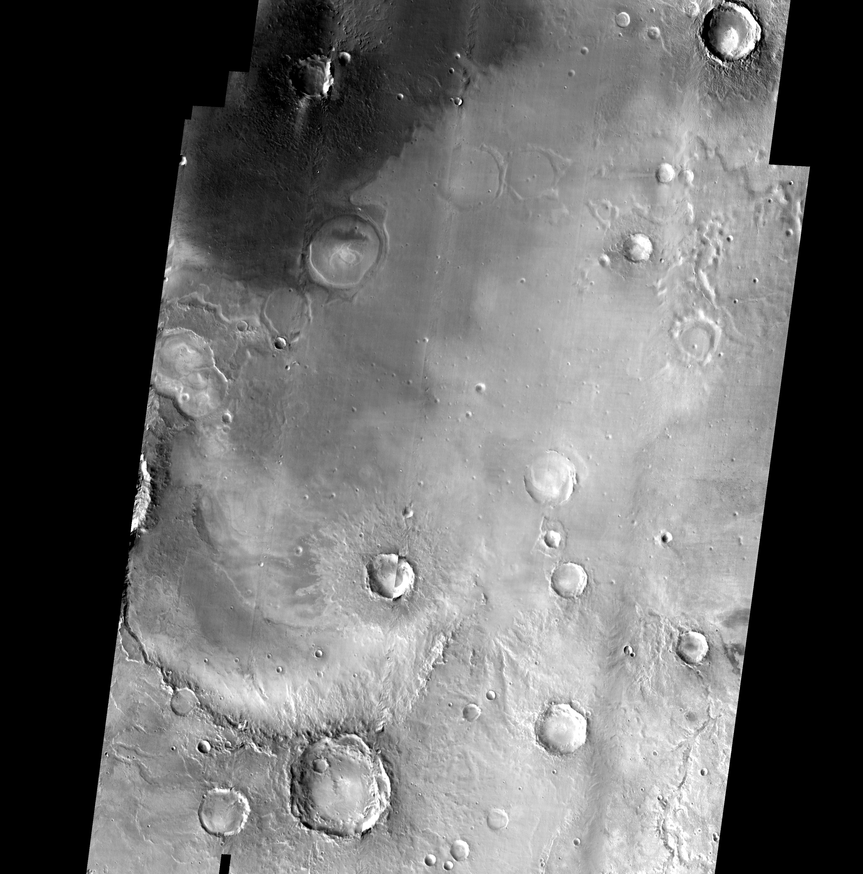
MER Landing Sites from THEMIS infrared images
The following MER landing site mosaics are also composed of thermal images taken by the Mars 2001 Odyssey mission at the 12.57 micron wavelength. The Gusev Crater and Sinus Meridiani were sinusoidally projected to a center longitude of 174 degrees and 354 degrees East, respectively. The day and night time mosaics of both landing sites are available at 100 m/pixel, 500 m/pixel, and 1 km/pixel in PNG format and in 100 m/pixel in ISIS format. The brightness coefficients of each scene were normalized using the same technique described above. Similarly, these mosaics were made using the same seam removal technique described above and were stretched identically when converted to PNG format.
Gusev Crater
| Day | Night |
 |
 |
| 1 km/pix | 1 km/pix |
| 500 m/pix | 500 m/pix |
| 100 m/pix | 100 m/pix |
| ISIS | ISIS |
| GeoTIFF, Simple Cylindrical at 100m/pix |
GeoTIFF, Simple Cylindrical at 100m/pix |
Sinus Meridiani
| Day | Night |
 |
 |
| 1 km/pix | 1 km/pix |
| 500 m/pix | 500 m/pix |
| 100 m/pix | 100 m/pix |
| ISIS | ISIS |
| GeoTIFF, Simple Cylindrical at 100m/pix |
GeoTIFF, Simple Cylindrical at 100m/pix |
A special thanks to the Arizona State University THEMIS team for providing all of the calibrated data used to make these mosaics.
All projections and mosaics were created using ISIS software. GeoTIFF files were created using the Geospatial Data Abstraction Library (GDAL) software.
Thanks also to Joe Digilio, Ken Nogeire, Mark Robinson and Aaron Szerlip for helping create the mosaics and build the website.